Introduction
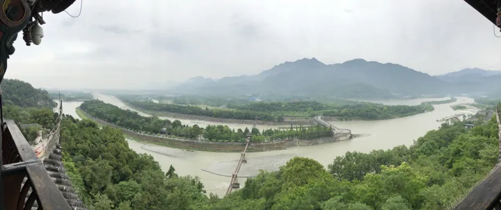
Qingcheng is a famous mountain, and much has been written about it. Chengdu is fortunate to have a destination combining traditional culture and natural resources just a few dozen kilometres away.
The front mountain is the main scenic area. Its entrance is beside the main road, its paths are established, management is comprehensive, and cable cars and other transport facilities are well provided. The scenery is certainly good too; this is the principal destination for visitors from around the country.
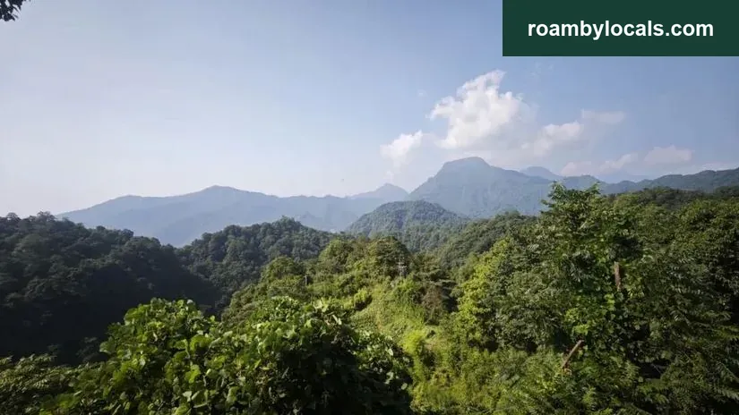
The rear mountain lies deeper in the mountains, several more kilometres along a winding road from the front entrance, without public transport. Developed later, it feels more natural, with greater ascent and longer distances. Admission is also cheaper, at 20 yuan. It is a fine place for a leisurely outdoor hike and enjoying the water.
1. Difficulty assessment
Reference difficulty: 3 stars. The front mountain is rated 1 star for comparison.
The Qingcheng rear-mountain loop track.
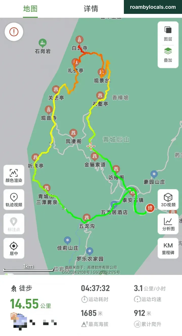
Loop distance: 14.55km.
Time: about 4:37 hours, for reference.
Maximum elevation: 1685m, with no risk of altitude sickness.
Ascent: 912m.
Look at the elevation profile.
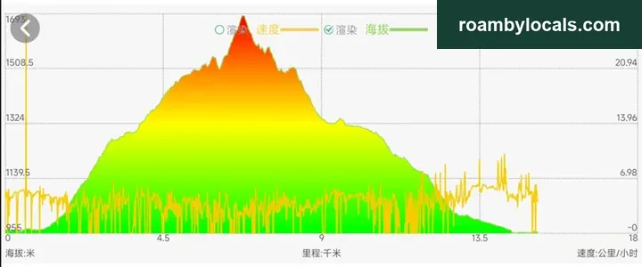
This follows the anticlockwise route: steeper first, gentler later.
2. Working out the time
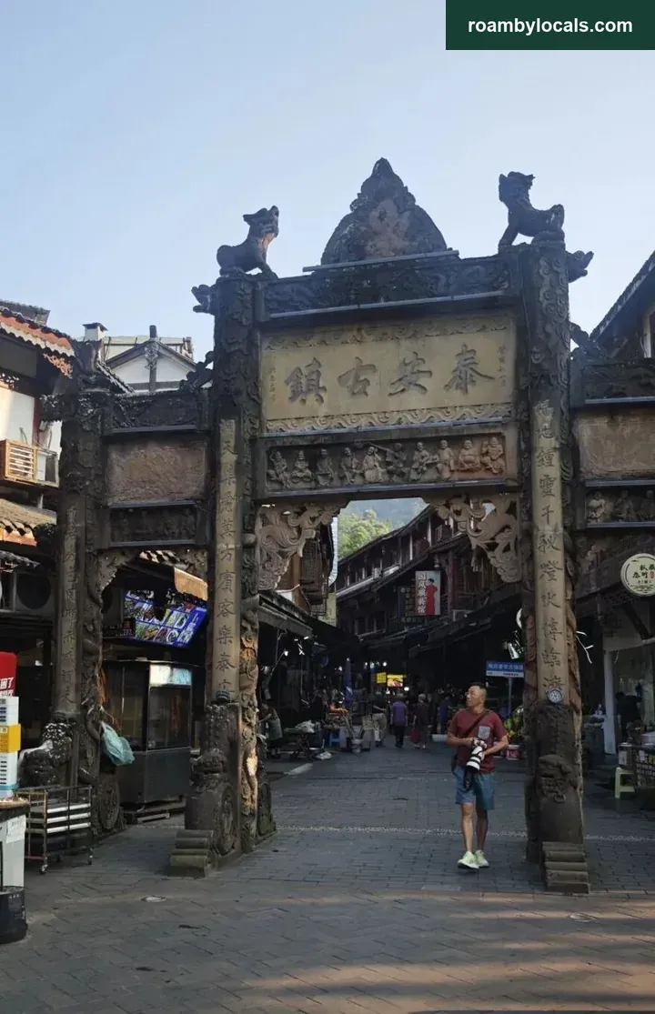
Starting point: Tai’an Ancient Town, right beside the rear-mountain entrance. There are countless riverside places for tea and meals, a handsome ceremonial archway at the entrance and a busy Tai’an ancient temple.
Click for direct navigation.
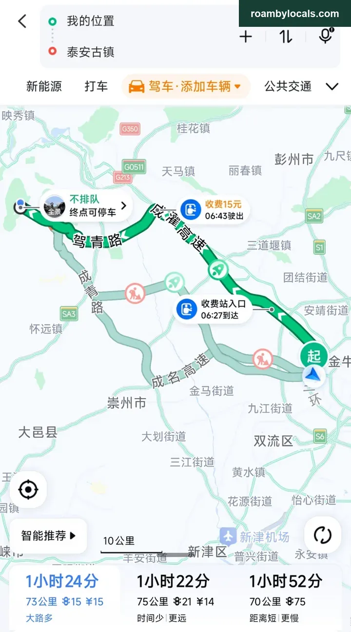
Travel time on the road: about 1:30 hours.
Estimating the hiking time:
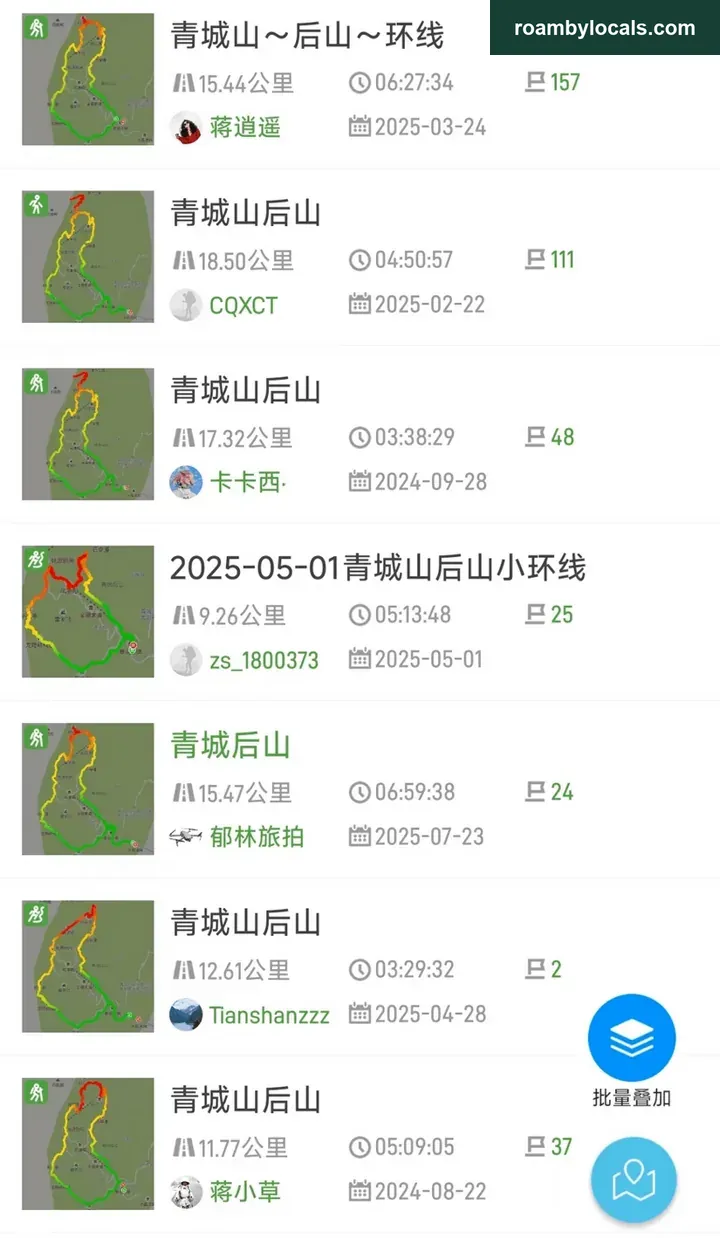
It varies from 3–6 hours; allow 5 hours. Estimated total time from leaving home to returning: 5*1.2+1.5*2=9 hours. Leave at 6 in the morning and expect to be home at 3 in the afternoon. Without time pressure, add another two hours to enjoy the water and cool down.
3. Matching the walk to your fitness
Anyone who has climbed Zhaogong Mountain or Jiufeng Mountain will find this relatively easy. We saw many people accompanying older relatives or carrying children uphill, and plenty wearing slippers, leather shoes or sandals. These are well-built scenic-area paths, with almost no dangerous sections. Watch for slips and avoid falling, and people should be able to reach the top; the differences are the time needed and the hiking experience.
Look at the scenery along the way. There are many steps, but the climbing is not continuous: an uphill stretch alternates with level walking, and the scenery is good. Before you notice, you have reached the top.
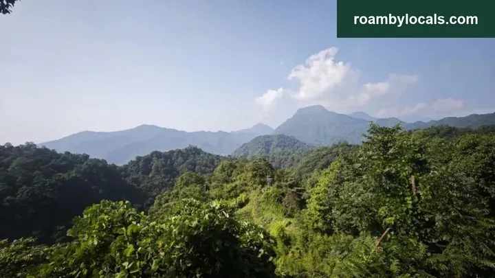
The rear mountain has no completely open summit. There is a viewing platform along the way with a good outlook.
There are many pavilions and Taoist temples, with places to rest everywhere.
4. Enjoying the mountain
The rear mountain is all about cooling down and enjoying the water. Trees shade the whole mountain walk, breezes blow and temperatures are several degrees lower than outside. Although autumn has arrived, the city is still rather hot, making a visit here a very good choice.
5. Adjusting the route
I have now climbed Qingcheng’s rear mountain five times. This time I set off almost empty-handed. There are many small shops along the route, so supplies are readily available. The paths are good too; just make sure your footwear grips well.
We walked anticlockwise, with a steep ascent and gentler descent. However, over a kilometre of road near the finish is exposed and rather sunny. You can instead go clockwise, covering that road before the sun comes out and avoiding the heat.
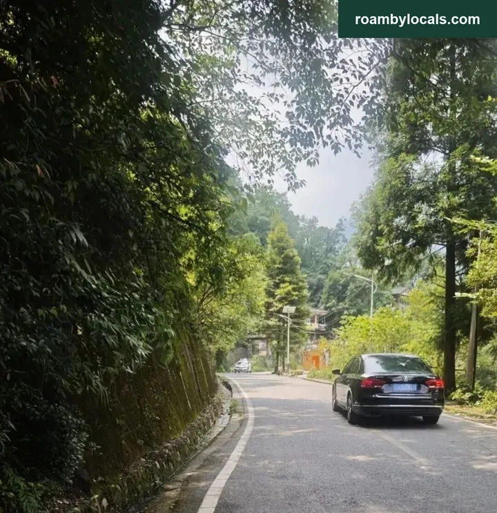
The final kilometre of the descent.
Some mountain sections are narrow. In the busy season, crowds frequently bring everything to a standstill. If possible, visit outside public holidays to enjoy the mountains quietly.
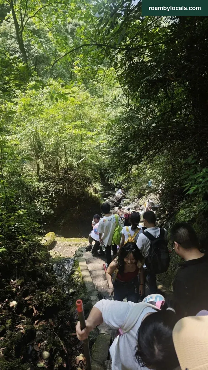
What the congestion looks like.
The winding road from the mountain’s foot to Tai’an Ancient Town is also very prone to traffic jams. Start as early as possible; otherwise these few kilometres alone may make you turn back.
6. Tips
1. This time we only went as far as Baiyun Temple. You can continue around 1 kilometre to Nantianmen. A lay practitioner at Baiyun Temple told us Nantianmen is no longer within Dujiangyan but under Wenchuan, and that the route there has been closed. Another hiker we met said there is a small path around the side. I will have to investigate on my 6th climb of Qingcheng’s rear mountain.
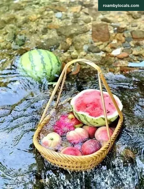
2. Apart from the summit section, the route mostly follows streams. Many little shops divert water to chill watermelons, cucumbers and drinks in icy water, which works well. This natural coolness feels different from refrigeration; you can try it.
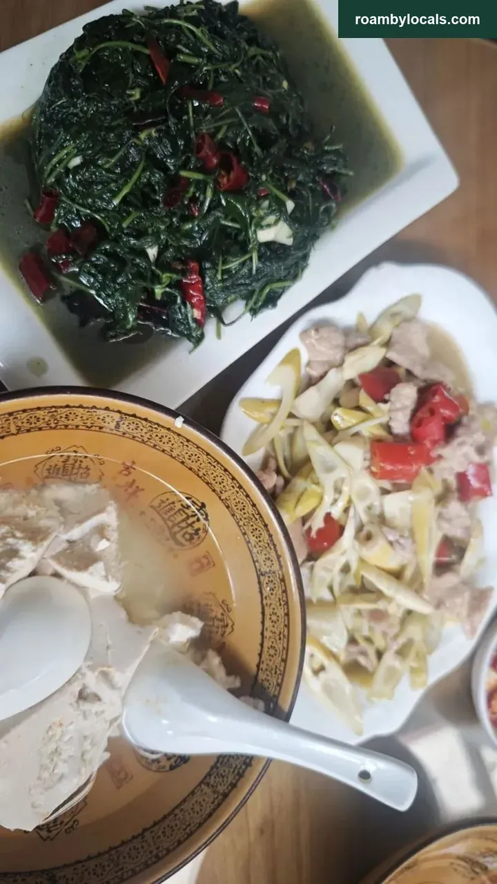
3. Tai’an Ancient Town is a good leisure destination in its own right, with established accommodation and dining. Qingcheng’s aged smoked pork, dressed chicken, soft bean curd and wild greens are well known too. If timing allows, do not miss them.
4. Another reminder about traffic: when we descended, the uphill queue of cars was already extremely long. When is driving most enjoyable? When the other direction is jammed solid and your own lane is clear all the way.
(Author: 女生要富氧)