Introduction
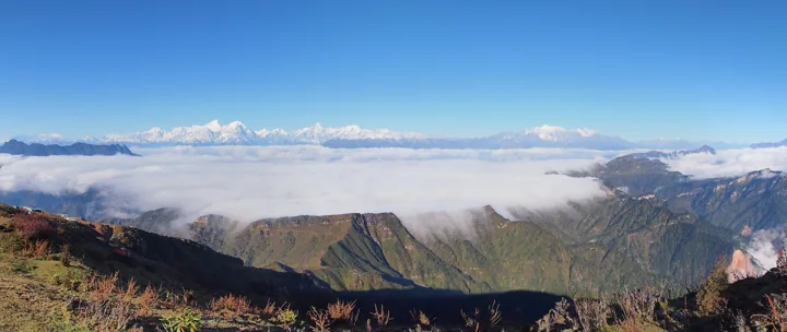
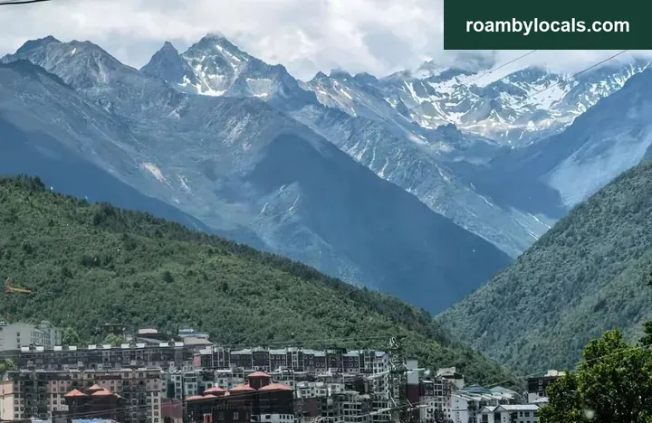
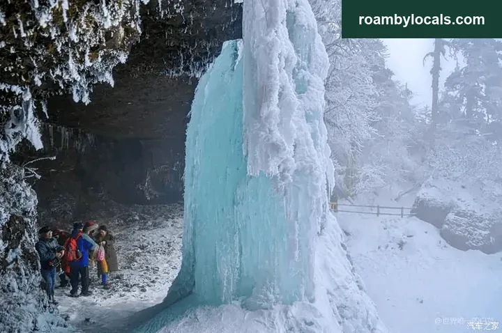
Snowy Wawu looks like this:
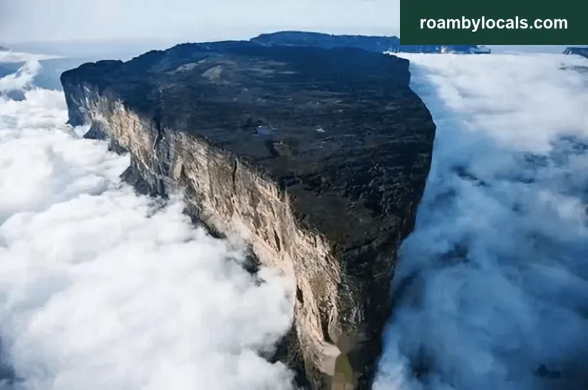
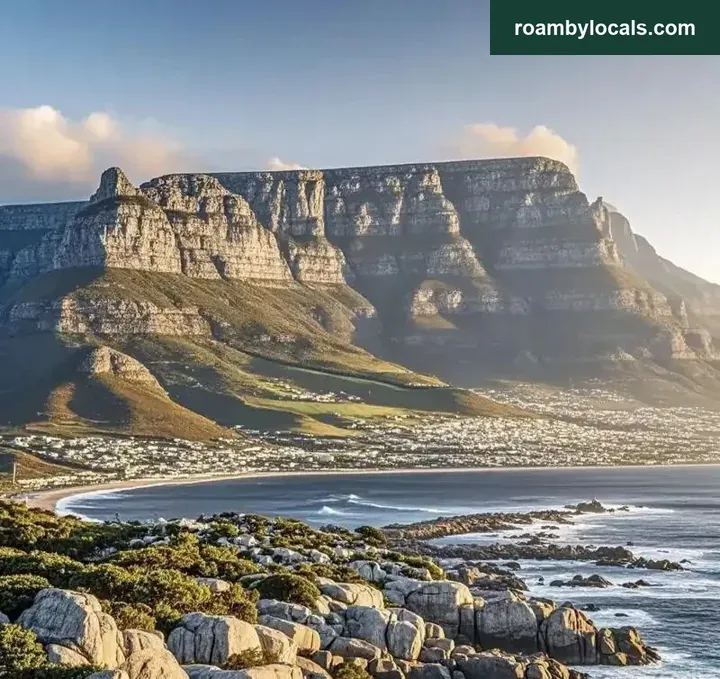
The world’s table mountain looks like this:
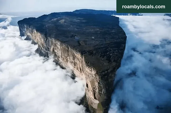
Unfortunately, neither of these splendid views is available at the moment: there is no snow, and seeing the table mountain’s entire shape takes a view from above.
Still, this season is worth a visit:
1. Admission is free during 2025.9.01–9.30. The usual price is 60 in the low season and 100 in the high season; saving 60 is nice.
2. Wawu Mountain recently offered medals for completing its hiking checkpoints as required. The first 300 finishers at weekends and the first 100 on weekdays receive one; there is also a pairs category.
3. In the ice-and-snow season, hiking routes close and visitors can only take the cable car to the summit to see the snow. For walking and enjoying the scenery on the way, now is the time.
1. Difficulty and routes A and B
Reference difficulty: 3 stars. Earlier material counted it as two stars. A friend questioned that, so I tried it myself: definitely three stars. The scenic area simply has established paths, good management, plentiful supplies and relatively low risk. The difficulty is absolutely there.
Route track.
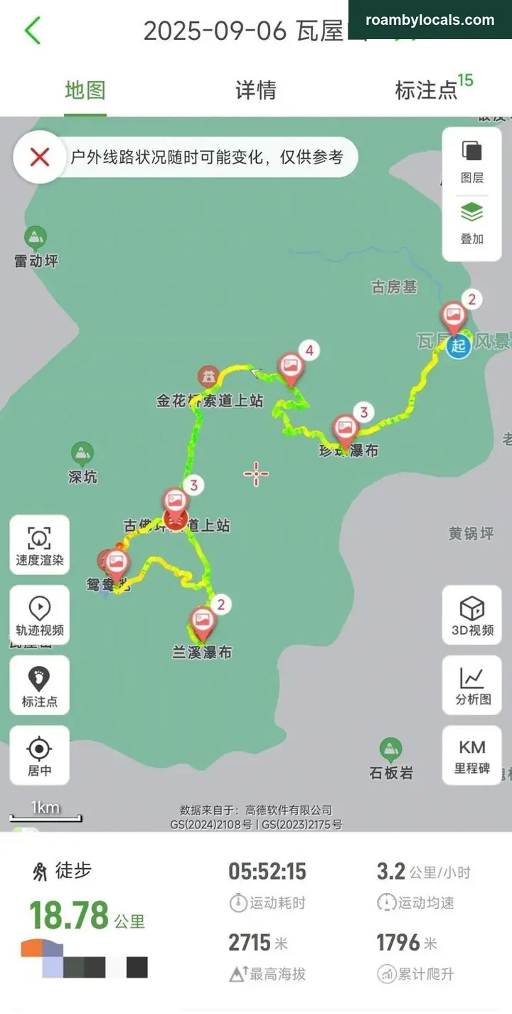
Distance: 18km.
Time: about 6 hours, for reference.
Maximum elevation: 2715m, with no risk of altitude sickness.
Ascent: 1796m.
Wawu’s hiking routes are divided into A and B. They share the first part, splitting at the Gufoping intermediate cable-car station. Left is A, along the cliffside walkway and Lanxi Waterfall to Xiang’er Mountain Lodge, under 14km. Continuing upwards via Despair Slope to Yuanyang Pool is B, around 12 kilometres. Both have the same ascent; A is longer and therefore gentler. B climbs continuously on Despair Slope — a punishing stretch, no easier than Emei’s 99 Bends!
This time we followed B up Despair Slope to Yuanyang Pool and Shangqing Palace, then covered part of A to see Lanxi Waterfall and the cliffside walkway. We took cable cars all the way down.
Look at the elevation profile.
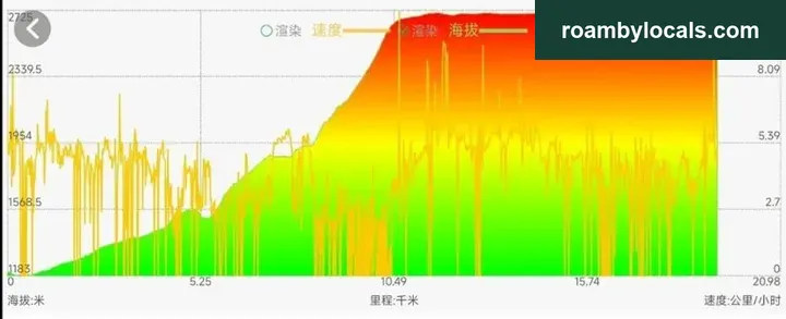
Most climbing is in the first 10km; afterwards you are on the summit. It really is a table mountain: the top’s 8km are level, with almost no ascent. Of the first 10km, the initial 7km gain over 700 metres, and the final 3km gain over 800 metres. Despair Slope is within those 3km.
🌸
2. Working out the time
Starting point: the scenic area’s visitor service centre. Drivers can navigate to Wawu Mountain car park.
Take the Chengdu–Ya’an or Chengdu–Wenjiang–Qionglai expressway, about 3 hours. Alternatively, follow the Chengqingpu express road and join the motorway at Pujiang: cheapest, but longest, around 4 hours.
Whichever route you choose, over 40 kilometres of national and provincial roads remain after leaving the motorway. Speed limits vary between 60 and 30, roads are narrow and traffic heavy: drive carefully.
Allow six hours for hiking:
Estimated total time out and back: 6*1.2+3*2=13.2 hours. Leave at 6 in the morning and return around half past 7 in the evening, close to our actual time.
A special clarification: our repeated emphasis on time is not about absolute hiking speed. It is about managing the whole day’s rhythm. Where conditions permit, take longer and slow down; feeling comfortable in body and mind improves your experience of the scenery.
3. Matching the walk to your fitness
To complete the whole route, you need at least the fitness to tackle Zhaogong Mountain. Even the first 10km exceed Zhaogong in ascent and distance, though Zhaogong’s difficulty is more concentrated — 1200m within 4km — and its paths wilder.
Look at the scenery and paths along the way.
The first half still follows water: streams and waterfalls, fresh and cool. It resembles Qingcheng’s rear mountain, with stronger flow and slightly wider paths. It lacks Qingcheng’s everyday atmosphere: no little vendors or places for tea and cooling down, just scenic-area management. Water vending machines provide supplies, not densely spaced but sufficient.
There are several waterfalls along the way. Perhaps rain the previous day had swollen them; the flow was plentiful and spectacular.
Thinking back, this may be the greatest drop and strongest-flowing waterfall I have personally visited. I made a video and will see whether I can post it for everyone to experience.
After the Gufoping cable-car station at 7km, it is all climbing. The stone stairs are well maintained and not especially dangerous, but hard on the legs. Some steps are so high you have to stride. I measured one against a section of my folding trekking pole: 35cm, so 3 steps make 1 metre.
The summit is easier, with broad level paths, old trees and beautiful scenery. The large Yuanyang Pool perfectly answered my question about how such a high mountain can have such a huge waterfall.
Lanxi Waterfall is the world’s highest waterfall:
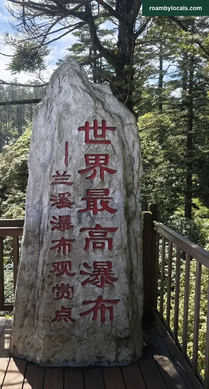
4. Yanu Lake and the wider setting
The road to Wawu curves around Yanu Lake for over 10km, with impressive lake-and-mountain scenery. Yanu Lake is also a famous summer retreat, surrounded by guesthouses, hotels and hot-spring resorts. Their signs advertise underfloor heating; perhaps air conditioning is unnecessary here.
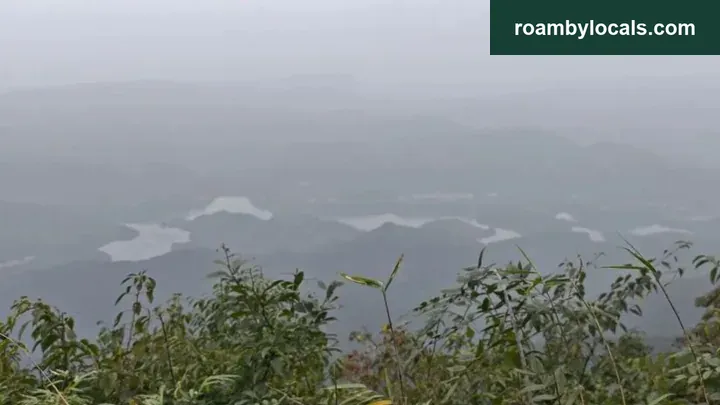
The indistinct lake below is Yanu Lake. Haze makes it hard to see clearly.
Freshwater fish must be a local speciality. Ya fish is one of Ya’an’s Three Wonders, so there must be plenty in Yanu Lake.
With enough time, staying a few days to eat fish, listen to rain and hike would be one of life’s pleasures.
A geographical note: Wawu Mountain belongs to Hongya, which belongs to Meishan. But both Wawu and Yanu Lake lie beside Ya’an and feel more like part of it.
🌸
5. Adjusting the route
Make sure your shoes grip well. Fallen leaves rot on the stone steps, making them slippery; do not be careless.
Trekking poles are essential and save considerable effort on the ascent.
Adjust the route to your condition. Start on A to avoid Despair Slope. Stronger hikers can climb B first, then loop down A via the cliffside walkway to the Gufoping cable-car station where it began. This covers almost all the sights and halves the cable-car fare.
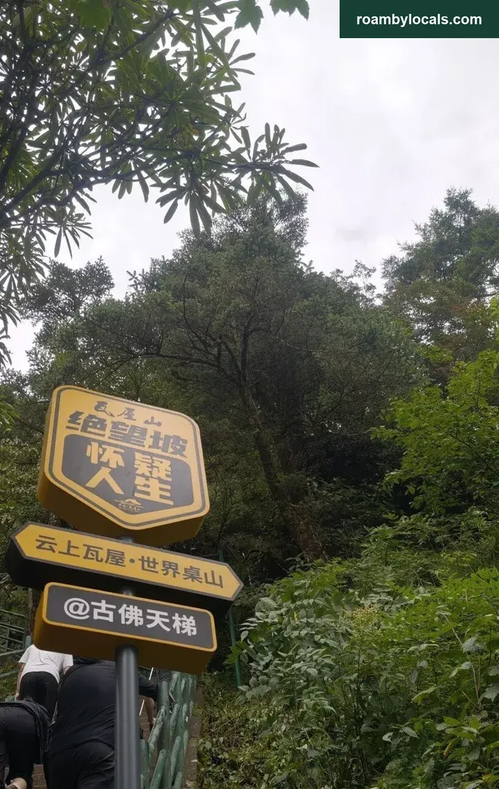
Personally, I recommend trying Despair Slope; otherwise you may feel a little regret.
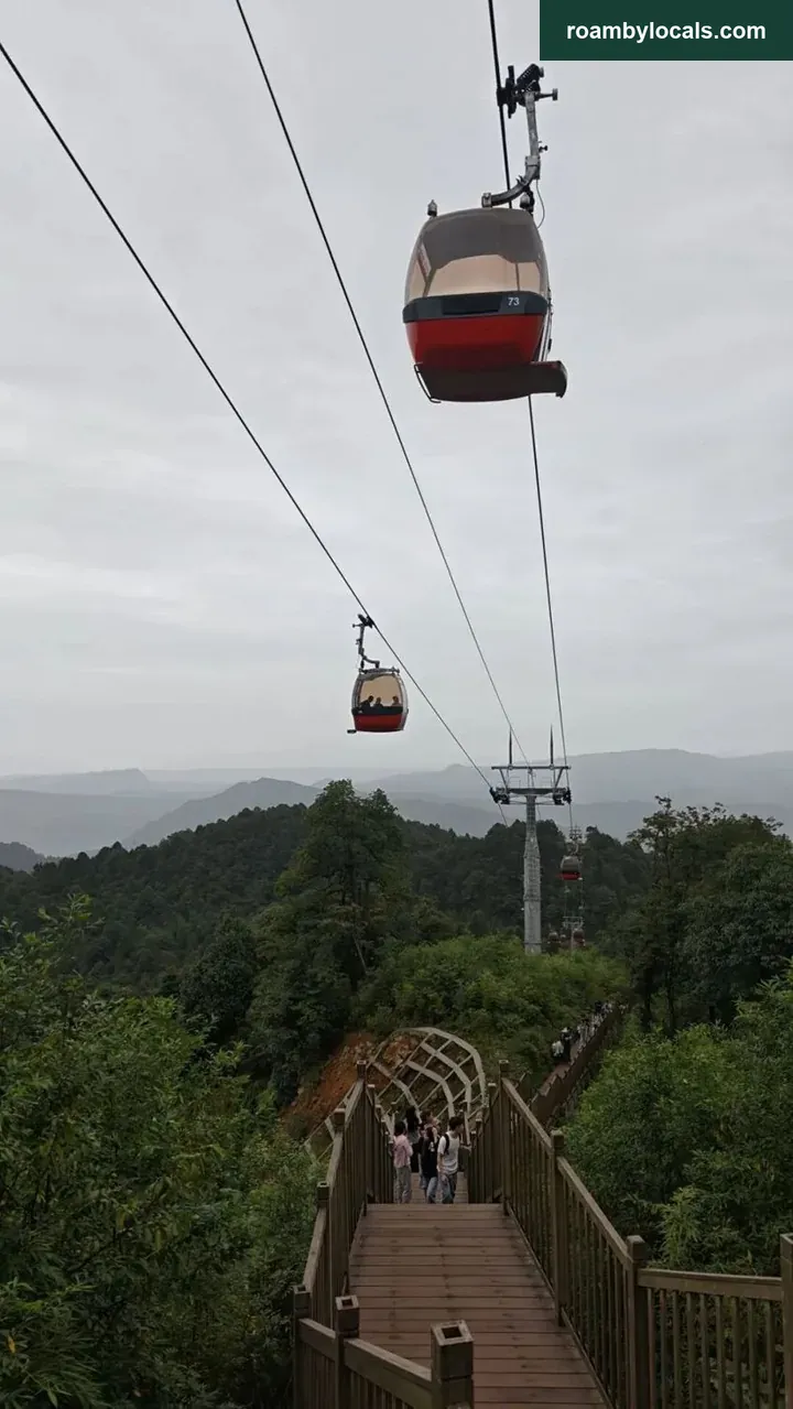
Wawu accommodates many abilities: anyone unable to hike can take the cable car straight to the summit. Or ride one stretch and walk another according to your condition, still enjoying the mountains.
6. Tips
1. Wawu is Asia’s largest and the world’s second-largest table mountain. The largest is Table Mountain at Cape Town, South Africa.
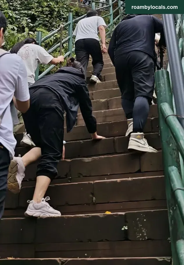
2. On rough slopes before, using both hands and feet was scrambling. Here I saw people doing the same on stone steps: ‘four-wheel-drive mode’. It may not look graceful, but it is practical on steep mountain paths: economical, stable, efficient and safe. Gloves are advisable to protect your hands.
3. Charging an electric car: several guesthouses below have chargers, and one car park has a row of charging points, but clearly not enough, and charging is slow. Better charge and rest at a motorway service area, replenishing your own energy too.
4. For a medal, remember that the scenic area ignores starting time and ranks that day’s checkpoint completions in order. Finish first, receive first. Start early to improve your chances. On the descent we met a hiker delayed by traffic who finished over 360th, deeply disappointed, calling the challenge a failure and promising to return. The scenic area has free Wi-Fi without a password. Checkpoints lack mobile signal; connect to Wi-Fi to upload your information and complete the check-in.
5. Wawu has plenty of wildlife; squirrels and monkeys are often seen.
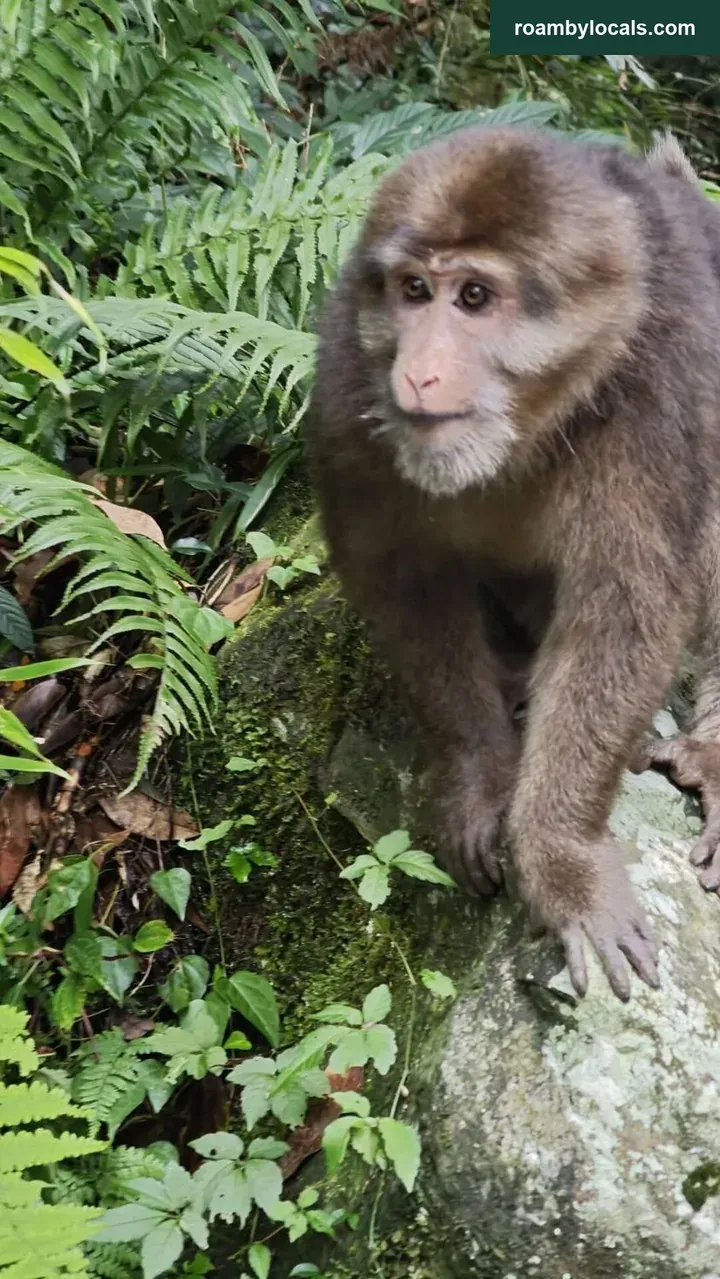
Rather intimidating. If I do not provoke it, surely it will not provoke me?
6. Emei’s summit is also a good viewpoint for Wawu. Hikers on Emei should not miss it.
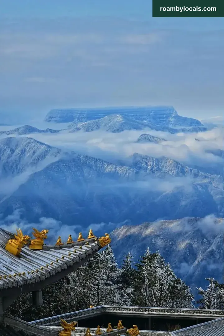
Photograph from the internet. These heavenly viewpoints are for everyone to discover!
(Author: 女生要富氧)